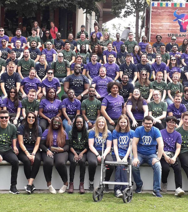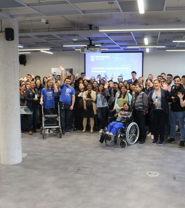

The Challenge
Dún Laoghaire-Rathdown County Council approached Access Earth with a challenge of not having an accurate count of the number of accessible parking spaces in the Sandyford Business District. They were only aware of two spots. The council was looking for a solution that would help them better understand and improve accessibility in the area for people with disabilities.
The Process
To address this challenge, Access Earth partnered with the European Space Agency Data as part of their Business Incubation Center project. Together, they developed an AI model that uses image recognition to identify the wheelchair symbol on parking spaces. This technology was then used to survey the Sandyford Business District and identify new accessible parking spots.

Conclusion
The project was a success in that it helped Dun Laoghaire-Rathdown County Council to better understand and improve accessibility in the Sandyford Business District. The partnership with the European Space Agency Data allowed Access Earth to use cutting-edge technology to identify new accessible parking spots, and now we are able to host over 1000 accessible parking spots across Dublin on our platform. Additionally, Access Earth is now a key partner in Ireland’s largest trial of parking sensors, exploring new initiatives based on the data we provided to the council.